Charts
These days most chart data is held electronically by the national chart authorities, and then sold to suppliers who incorporate it in their own products. In general, this means that if you get an electronic chart from a reputable supplier, the data is fine. However, if you want paper, except for those you need to get to the Baltic, where you can use BA, you are best to go with a local supplier, particularly in complex areas like the Swedish or Finnish archipelagos.
Electronic Charts
We have both Navionics and C-Map on board. These are both vector charts, with more detail appearing as you zoom in. As they are based on the same data, the differences are largely cosmetic, so it’s your choice. The local suppliers like NV also provide electronic versions of their charts, but they are Raster charts usually in BSB format.
Navionics have become very popular because of their Smartphone/Tablet App for iOS and Android. The tablet (HD) version shows more detail than the phone version, and the one used for ’proper’ Plotters has more detail still, at some more cost. You can view Navionics charts (except for Denmark) online at https://webapp.navionics.com
Note that in the App chart packs, for licensing reasons, Denmark is in a different chart pack from the rest of Scandinavia, so you may have to buy two packs. You can download the App charts online. Depending on the plotter, these charts usually need to be purchased initially through a dealer but can then be updated online.
If you are on a budget, an alternative is to use OpenCPN, either on a laptop or on a Raspberry Pi (with Openplotter). There are a range of charts for use with OpenCPN, some are free, but are not necessarily up to date.
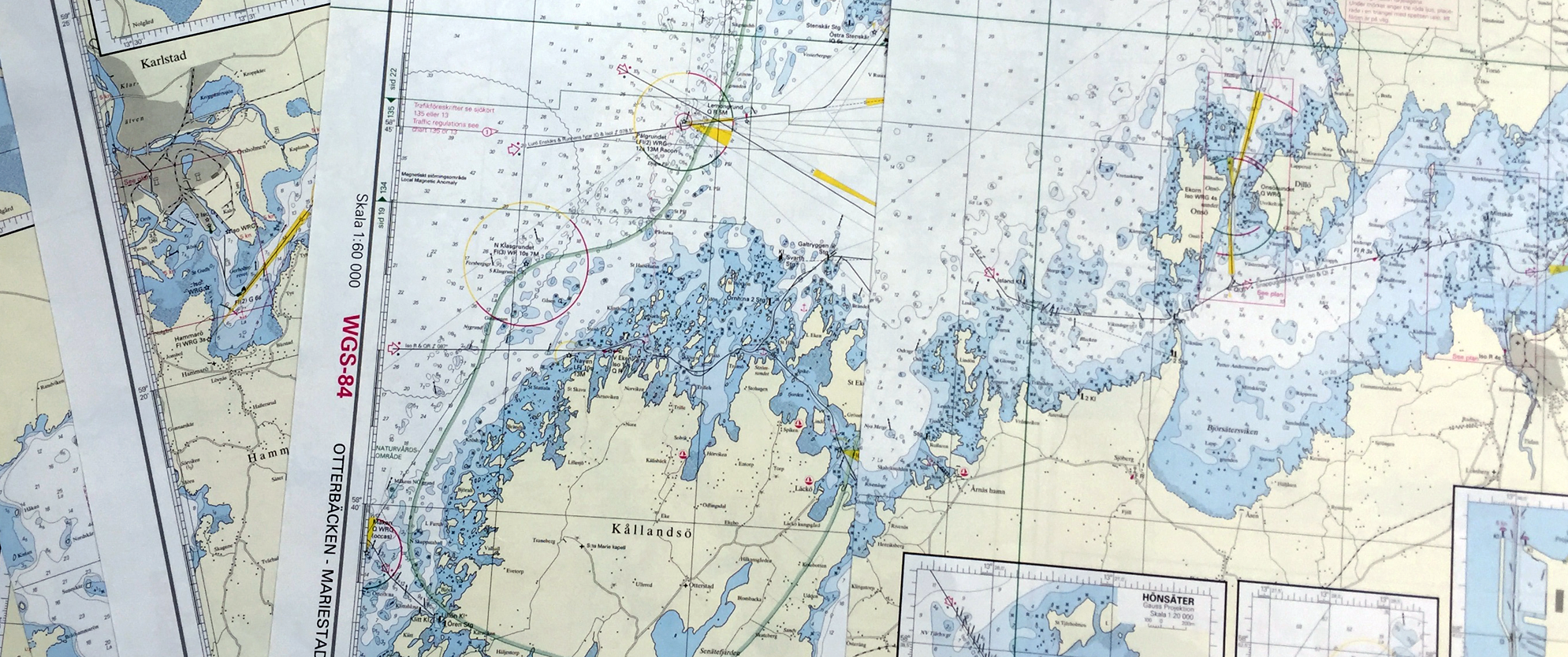
Paper Charts
We find it is best to use charts that the locals use.
For Denmark & Germany we use NV as we find them the clearest. Delius Klasing is a suitable alternative.
For Sweden we use the Båtsportkort. These are published in waterproof packs for use in the cockpit. These are essential, unless you have a plotter at the helm. Going through the Swedish archipelagos needs one person on the helm and one person ‘calling out the pins’ (spar buoys). Its *very* easy to miss a pin, and in some lights they all look black anyway instead of red or green. Also, a pin generally marks an underwater rock and where there aren’t any, there is no pin. You can be faced with three rocks in front of you and no indication of which route to take through them.
Norway and Finland also have their own charts. In Sweden, the ‘main drag’ tends to be buoyed/marked, and can be fairly easy to follow, but in Finland it seems *all* the routes are marked, and working out how to get from A to B takes some planning.
All charts in the Baltic have depths at notional ‘Sea level’. The depths can therefore be different (less or more) when the wind blows. This is most prominent in Denmark, when you can lose up to 1 meter in strong blows for a few hours.
A specialist chart company, Hydrographica, supply high-resolution charts for certain parts of Sweden. This has ‘opened up’ areas not previously possible. They have a special technique for charting shallow areas. More importantly, the chartlets in the Nautiska Forlaget books (and now the Hamguiden books) are produced by the same people. In all cases, these charts are highly reliable.
It’s worth saying that except for a few areas, the buoyage and depths in the Baltic change slowly. Our paper charts are over 10 years old and are mostly still accurate, however we do have up to date electronic ones on board. That cannot be said for the Frisian Islands.
New versions are usuaully published just in time for the Sailing season - which usually means June in Scandanavia!
Getting the Charts
Acquiring these charts from the UK can be difficult, although Bookharbour supply NV and Delius Klasing charts by post. NV charts can be had mail order direct from them (NV paper charts include their electronic equivalents too). For Sweden, Finland and the Baltic States, Iver Wielbach in Copenhagen will probably supply all that you might want.
Most people pick the charts up at convenient points as they travel. The Watski at Kalmar is a favourite spot. In general charts are available in Bookshops rather than Chandleries, but not always. There are many Watski’s throughout the Baltic (their website shows the location of the Swedish shops here, and the German and Danish ones here for some reason) and they can usually get you anything you want, although they may not have it in stock.
There are major charts shops in Stockholm (Nautiska Magasinet), Copenhagen (Iver Wielbach) and Helsinki (Marine Kauppa). They usually stock everything you might need.